Every image has a derivation.
A derived image or model comparison informed a decision. Can a reviewer trace it to the captures, preprocessing, model versions and run—and see where judgment entered?
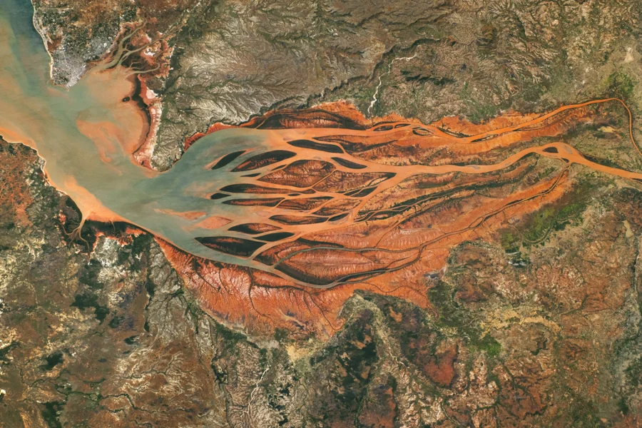
Keep the capture behind the comparison.
Consider a flood-change comparison between two dates. A proposed record would retain acquisition time, source identifier, coordinate reference, resolution and quality flags for each scene. It would then preserve preprocessing steps, model versions, comparison criteria and uncertainty notes.
The reference photograph above is a view of a real landscape, not an analytical output from CertainTIQ. A highlighted region in a future workflow would be an interpretation to review, not a fact made true by its appearance on a map.
Make judgment visible.
- CollectIdentify the captures and their spatial and quality metadata.
- PrepareVersion each transformation and its parameters.
- CompareRetain model and run identifiers beside the derived result.
- ReviewRecord uncertainty, the reviewer’s decision and any override.
The retained evidence would connect the source scenes to the derived comparison and the human decision. A reviewer should be able to distinguish a changed input, a changed method and a changed judgment without guessing from the final image alone.
Repeatability and forecast skill are separate.
A weather-model comparison asks a related but distinct question. Preserve initial conditions, parameter versions, run identifiers and checkpoints. Compare two runs or two model versions at the checkpoint where they first differ, within an agreed numerical tolerance.
Reproducing a run examines whether the same recorded inputs lead to comparable outputs in the pinned environment. Forecast accuracy requires comparison with observed outcomes. A reproducible forecast may still be wrong; evidence of reconstruction is not evidence of predictive skill.
One scene series—or one model run.
This guide frames a proposed workflow for scoping, rather than a validated imagery or weather service. Select one scene series or one model run and establish the existing workflow as the baseline. Agree the capture record, environment and comparison method before integration.
A second reviewer would reconstruct the derivation. Measure capture overhead, time to locate a differing input, record completeness and integration effort. Retain the input manifest, versioned transformations, checkpoint comparison and uncertainty notes with the findings.
Supported formats, scene volumes, compute requirements and numerical tolerances must be settled for the selected workload. The evaluation would not, by itself, establish image correctness, geospatial accuracy, forecast skill or suitability for operational use.
From the question to the test
Bring the derivation you need to trace.
Bring one bounded workload, your current workflow and the evidence you would need to make a decision.